Links and More Home
My Equipment
My Links
My Photos
My Training
My Tours
My Trips
 What
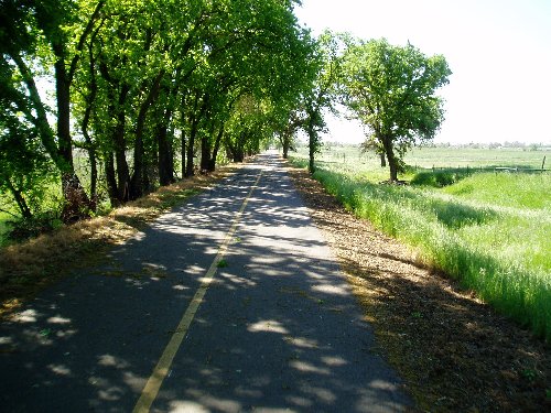
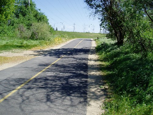
better way to get ready for a Metric Century than to ride the American River
Bike Trail. For starters this has got to be the best Trail in the North
California area. It is carefully maintained and used by many. But
instead of driving to the end of the bike trail I just ride to the trail and
then back home. Depending on how you want to ride depends on which way you
start. If you start at the Beginning of the trail at Folsom Lake you will
get all of the downhill, but if you start at the end of the trail in Old
Sacramento you will get all of the climbing. Because I am gearing up for a
couple of Century rides this summer I decided to get the route in that would
give me all of the climbing today. Of course it had to be the same day
that there was a 25 to 30 mile an hour headwind. For some of the ride I
had a great tailwind, but the last 20 miles of the trip I was riding straight
into the wind, great practice for those hard rides later down the rode. On
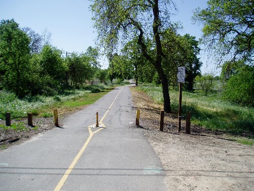
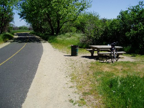
the trail there are actually lots of places to stop and rest at a bench or a
table. There are also a couple of parks along the way that even have
restrooms. You do need to be careful on the trail and pay attention, you
are not the only one there and it is heavily used on the weekends. They
now allow roller blades on the trail as well so it's one more thing to look out
for. Many cyclists use this trail and some go very fast, even though the speed
limit on the trail is 15 mph, it's easy to crank it up to 20 to 25, I've seen
guys fly at even 30 mph. As you climb up the trail there are a number of
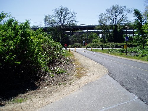
points that you really have to gear down. When you go up the Hazel Blvd
Bridge you will hit a 7% Grade, be careful of cyclist coming down the bridge,
you share the same lane. Once you get past Negro Bar park you will be
climbing most of the way until you hit Folsom lake. Much of the climb is
between 3% and 7% grade. All in all a great ride and plenty of climbing to
get you ready for your next tour.
What
better way to get ready for a Metric Century than to ride the American River
Bike Trail. For starters this has got to be the best Trail in the North
California area. It is carefully maintained and used by many. But
instead of driving to the end of the bike trail I just ride to the trail and
then back home. Depending on how you want to ride depends on which way you
start. If you start at the Beginning of the trail at Folsom Lake you will
get all of the downhill, but if you start at the end of the trail in Old
Sacramento you will get all of the climbing. Because I am gearing up for a
couple of Century rides this summer I decided to get the route in that would
give me all of the climbing today. Of course it had to be the same day
that there was a 25 to 30 mile an hour headwind. For some of the ride I
had a great tailwind, but the last 20 miles of the trip I was riding straight
into the wind, great practice for those hard rides later down the rode. On
the trail there are actually lots of places to stop and rest at a bench or a
table. There are also a couple of parks along the way that even have
restrooms. You do need to be careful on the trail and pay attention, you
are not the only one there and it is heavily used on the weekends. They
now allow roller blades on the trail as well so it's one more thing to look out
for. Many cyclists use this trail and some go very fast, even though the speed
limit on the trail is 15 mph, it's easy to crank it up to 20 to 25, I've seen
guys fly at even 30 mph. As you climb up the trail there are a number of
points that you really have to gear down. When you go up the Hazel Blvd
Bridge you will hit a 7% Grade, be careful of cyclist coming down the bridge,
you share the same lane. Once you get past Negro Bar park you will be
climbing most of the way until you hit Folsom lake. Much of the climb is
between 3% and 7% grade. All in all a great ride and plenty of climbing to
get you ready for your next tour.
Route Directions:
- Starting on Baseline near Canyon Creek head West towards Watt Ave.
- L - Watt Ave. - 2.59 mi
- R - Elkhorn Blvd. - 7.16 mi
- L - North Sacramento Bike Trail - 10.89 mi
- S - Across Rio Linda Blvd 14.12 mi
- L - North Sacramento Bike Trail - 14.12 mi
- L - American River Bike Trail - 17.54 mi
- L - Be sure to turn left when you get to Nimbus Fish Hatchery - 37.88 mi
- R - To go up Hazel Blvd over the American River take right fork on trail. - 37.97 mi
- L - After you have crossed the bridge you are going to go to the left and come under bridge - 38.42
- L - Beale's Point Entrance Rd - 46.71 mi
- R - Auburn Folsom Rd - 47.03 mi
- L - Douglas Blvd - 48.83 mi
- R - Roseville Parkway - 52.46 mi
- L - Pleasant Grove Blvd - 56.61 mi
- L - Foothill Rd - 58.09 mi
- R - Baseline 60.05 mi
- Stop - Canyon Creek West - 61.69 mi
Statistics:
Distance: 61.69 mi
Maximum Speed: 27.6 mph
Average Speed: 13.7 mph
Actual Riding Time: 04:34:33
Feet Climbed: 1451 ft
Photos:
|
|
 |
 |
 |
 |
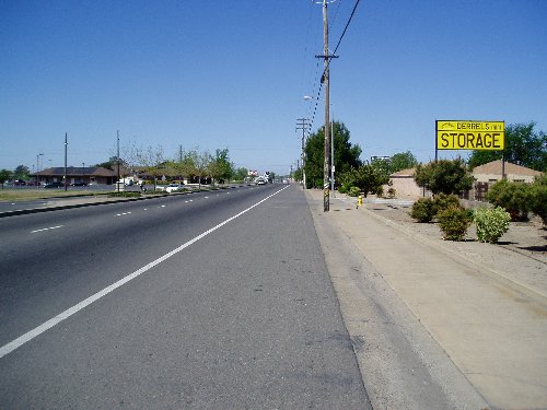
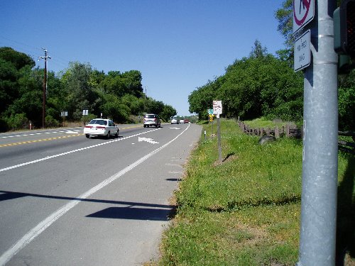
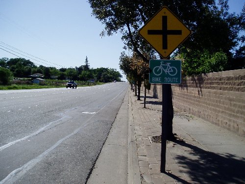
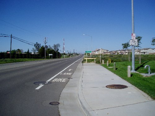
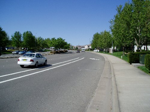
| Heading West down Baseline. | Turning left on Watt Ave. | Making a Right on Elkhorn Blvd. | Starting on the North Sacramento Bike Trail | A nice ride along the North Sacramento Bike Trail. |
|
|
 |
 |
 |
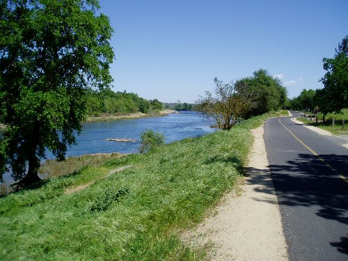 |
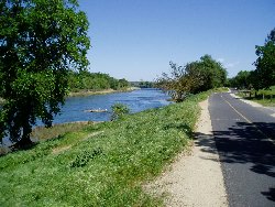
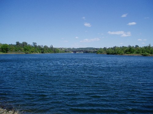
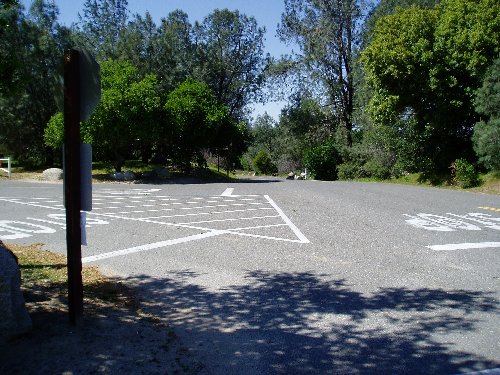
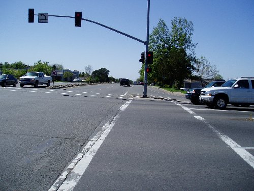
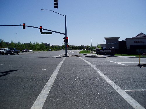
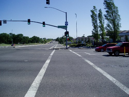
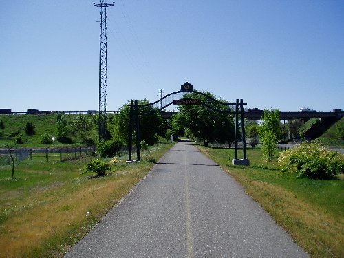
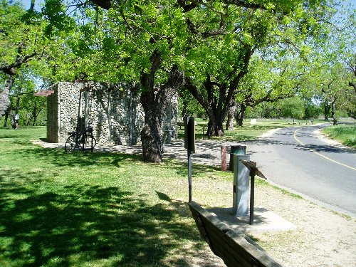
| Riding through Del Paso Heights | Making a left turn onto the American River Bike Trail | A nice little rest stop. | A good view of the American River Bike Trail. | The Trail follows the River all the way up, much of it can be seen from the trail like this. |
|
|
 |
 |
 |
 |
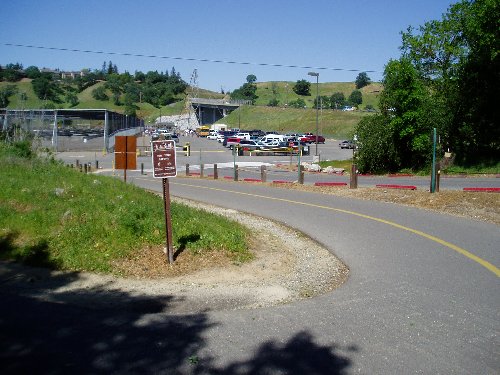
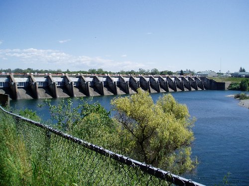
| There are a couple of bathroom stops like this one. | Coming into Nimbus Fish Hatchery. Be sure to turn left here. | Take the right at the fork in the road to take you up and over the river via Hazel Blvd. | Once up and over the river you will go by Nimbus Dam. | A beautiful view of the river as it goes under the new Rainbow Bridge. |
|
|
 |
 |
 |
 |
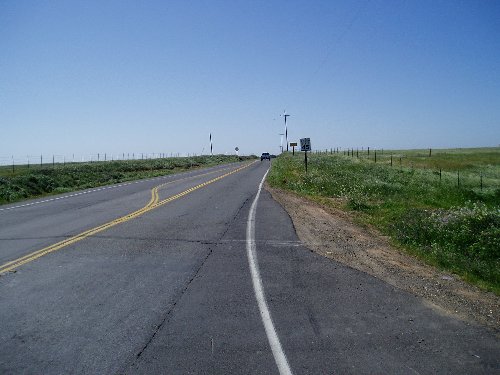
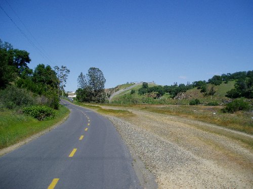
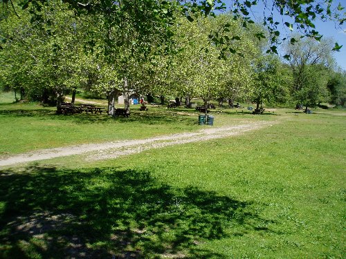
| Negro Bar Park, a great place to rest or eat lunch. | Heading up the trail towards the lake. Across the river here is Old Folsom State Prison. | Making a left from the trail on the Beale's Point Road. | Turning right onto Auburn Folsom Road. | Turning left onto Douglas Blvd. |
|
|
 |
 |
 |
|
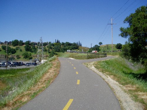
| Starting another climb up Roseville Parkway. | The climbing is done once you get to Pleasant Grove Blvd. | A gentle slope down Foothill Blvd. | You're on the homestretch now as you make your right onto Baseline Road. |

Copyright © 2003-2013 Devin Holmes