Links and More Home
My Equipment
My Links
My Photos
My Training
My Tours
My Trips
Tuesday 07/15/08 - San Lorenzo County Park to San Simeon State Beach
 We slept pretty good,
the wind died down and there was no tractor to wake us up in the morning. It was about 7 am when I woke up and started the morning routine of getting breakfast which
consisted of 2 bags of oatmeal, a can of fruit, and a hostess fruit pie. Did you know that a fruit pie has 480 calories in it? Awesome way to start the day. After breakfast it's time to start packing things up, cleanup the dishes, put away all the stuff, take down the tent, and last but not least get the cycling clothes on for the day.
We slept pretty good,
the wind died down and there was no tractor to wake us up in the morning. It was about 7 am when I woke up and started the morning routine of getting breakfast which
consisted of 2 bags of oatmeal, a can of fruit, and a hostess fruit pie. Did you know that a fruit pie has 480 calories in it? Awesome way to start the day. After breakfast it's time to start packing things up, cleanup the dishes, put away all the stuff, take down the tent, and last but not least get the cycling clothes on for the day.
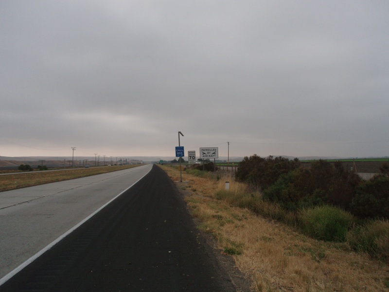
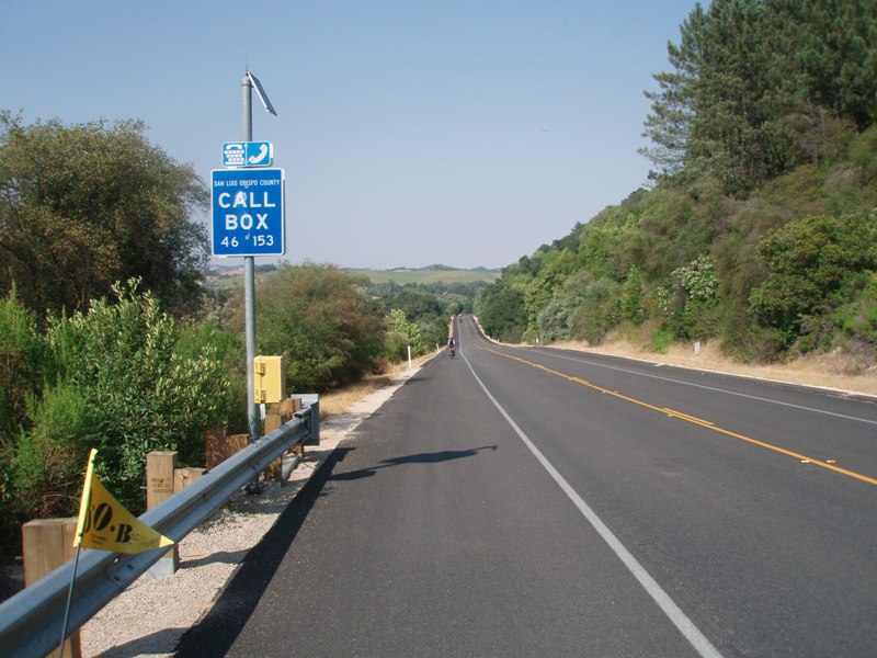
It's now 8:00 am and we're heading out of camp. The night before I looked at the map near the restrooms so I knew how to get out of town and back on 101. I knew we would
not be able to get back on where we exited from the previous night, it had a sign telling cyclists to exit, which meant we would have to go to the other side of town to get back on. So off we went knowing how to get there. The only problem was when we got
to the point we needed to be it said, "Road Closed." It wasn't just the road that was closed, it was a bridge that was out. So we had to back track and then after about
2 or 3 miles of wandering through town we finally got to where we needed to be to get on the Highway. So we go to get on but there was that sign and it said no bikes. What?! So we
keep try and find the frontage road or something to follow, we can't find anything. We talk to a lady that tells us you can't get to it because the bridge is out, "just use the freeway," she tells us, "no one will care."
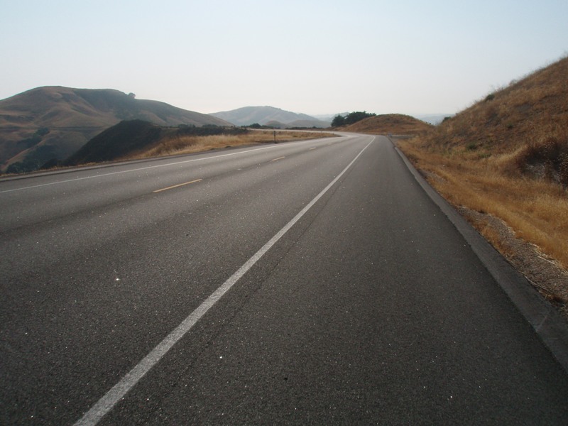
So we took her advice and took the freeway. I felt like such a criminal as we rode past the sign saying no cyclists! For the next 6 miles we
ride 101, it was a good stretch and allowed us to make some good time after wandering around King City
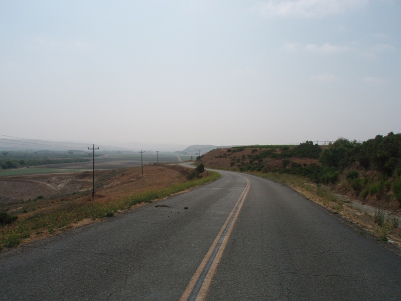
that morning trying to get out of town. We got off near San Lucas and followed Paris Valley Road for about
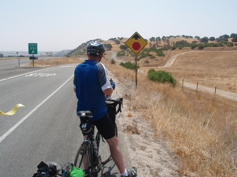
4 miles. At this point it went near 101 so I went to the on ramp to see if we could
get on. Not only could we not get on there was a Sheriff sitting on the
onramp. I don't think we could get away with getting on here. So I
went up and asked him where the next point was to get on the freeway. He
wasn't sure and showed me a county map and the roads that would get us to Paso
Robles. So we headed back to Paris Valley Road for another 4 miles.
During which time we headed up a hill, a sign told us that the road was going to
get narrow. We wondered how it was going to do that as it was already
pretty narrow. Then the white line disappeared, then it dropped down to
about a lane, once over the hill it widened back out. We finally found a point to get back on 101 and headed South. Just before Camp Roberts the road took a turn for the worst and decided to get bumpy on us,
in fact it was just miserable. Every two feet there was a bump in the shoulder, sometimes you could move to the right or left to avoid it but with these
bumps it was all the way across the shoulder, it made riding this really crappy. Finally a sign told us to get off the Freeway, gladly!
Steve and I both looked at each other after getting off, "that was really
crappy!"
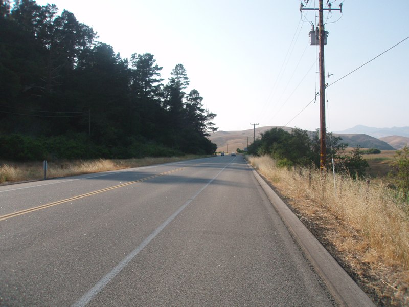
We were in San Miguel, a small town in the middle of the valley. Not much around here, but there was a new grocery store/deli that had just opened. It was time for lunch so we stopped. They made the best pastrami sandwich, or
maybe we were just really hungry, it could have been both. We fueled up on liquids as the sun was out in full force today. At the other end of town we were not able to get back on the 101 instead we had to back track to River Road and follow that. It was a descent road, much better than what we had just ridden. Not much
farmland here, a few ranches, one area was watering the hayfield and the sprinklers were getting the road wet, I rode right through it for a quick cool off. After 9 or 10 miles we made it to Paso Robles.
I wasn't sure on how to get through town but we managed to find our way through town, a lot of traffic here. We were stopped by a guy on a bike. He and his wife had been in the area on a tandem but they couldn't get through
the Big Sur area so they stopped here. I wasn't sure about the details but he was very jealous of us being out on the road. We continued on and tried to find our way out of town and
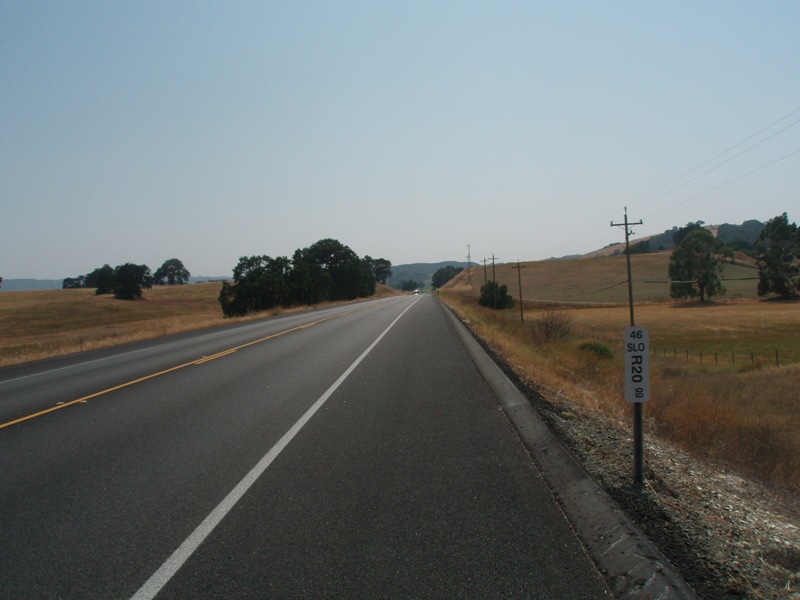
over to Highway 46. On the way we saw an AM/PM to fill up at. We would need plenty of liquids for the next section. We
still had another 27 miles ahead of us, 12 of that would be climbing. It was getting to be late in the day, it was after 3:30 pm. This was turning into a much longer day than we had hoped it would be. Wandering around in King City this morning didn't help. Once we were fueled up and ready to go we headed out to 101 which would then take us down to Highway 46, only problem was a sign saying no cyclists. What?! It's only a mile down the road. We back tracked trying to find the frontage road, couldn't find anything, again. Forget it, we're making a run for it. So off we went down the 101 for a mile and then got off at the 46 exit. I'm sure all the cars were looking at us like, hey read the
sign no cyclists, not today.
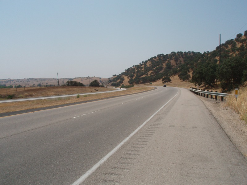
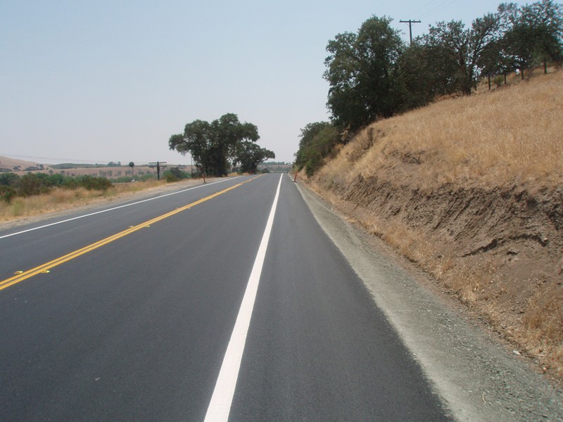
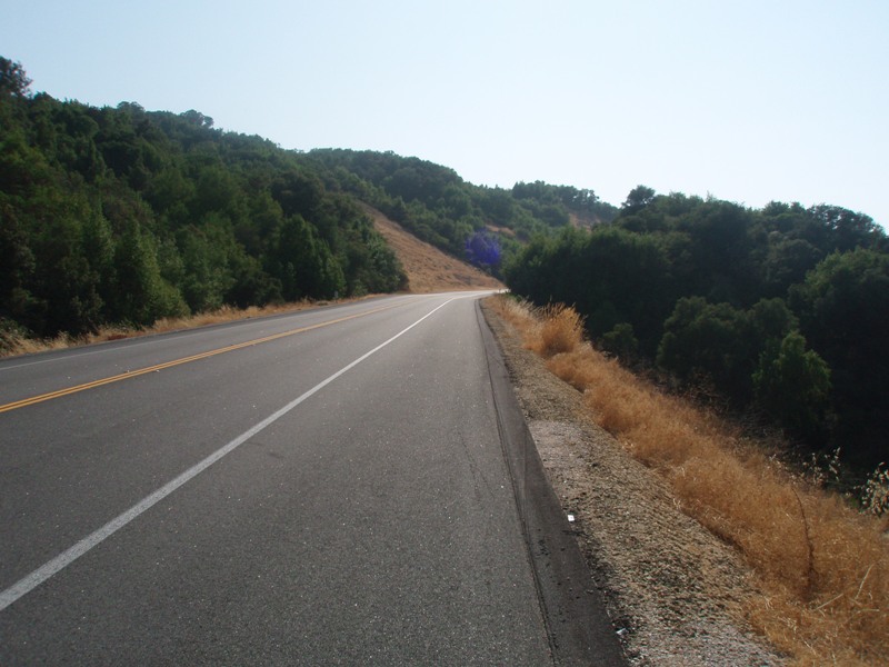
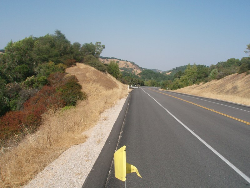
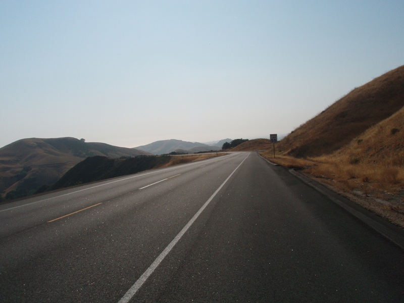
The first thing we noticed about Highway 46 was how smooth it was. Next thing we noticed was how wide the bike lane/shoulder was. Next thing we noticed was the wind going against us. Just what we wanted at the end of the day, a head wind, Well at least it's a smooth road. We settled into an easy gear and got into a
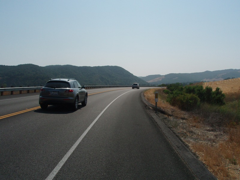
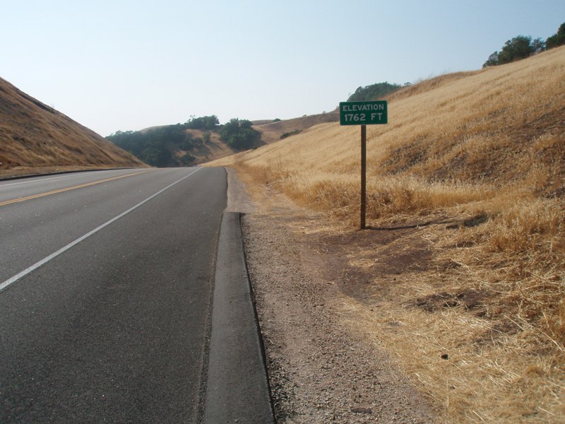
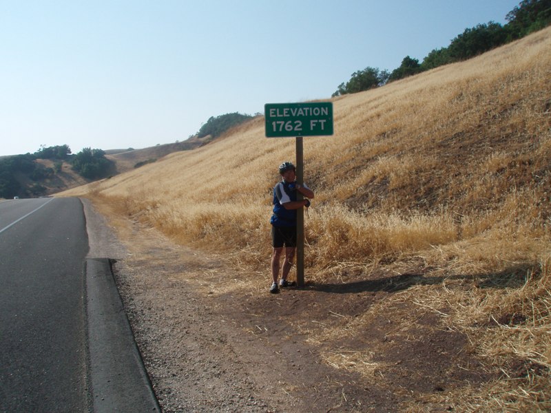
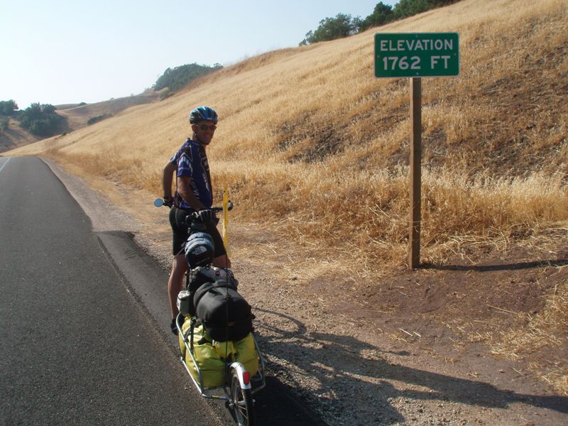
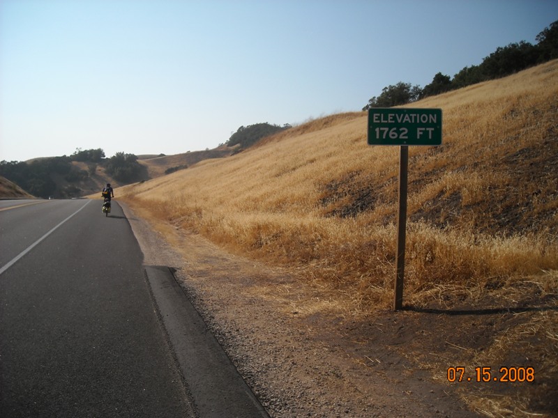
rhythm. This would take some time. As soon as we left 101 we also left mainstream, no stores, stops, or anything. Just us, the road, and a few wineries along the way. It was still warm, even warmer now that we were climbing. The wind didn't help much, it was just warm wind. The climbs were getting steeper each mile that went by. Once we hit 10 miles I knew we were almost there. At mile 12 we made the top of the Coastal Range, 1762 feet. Steve was about 10 minutes behind me. We took pictures of each other at the elevation sign and then we started rolling down hill. Before we knew it we were speeding downhill at 35 mph. What had taken us 12 miles and 90 minutes to accomplish was quickly erased in a mere 20 minutes, it was a fast 8 miles. As we came up and over the climb you could just feel the
temperature drop, finally back on the coast.
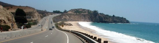
Highway 46 takes you right to Highway 1. From there we turned right heading North up the coast to San Simeon State Beach. First was Cambria and a few hills, big hills, but not as big as what we just climbed. As we went through Cambria we were hoping to find something to stop and grab a bite to eat. Nothing fast food wise, maybe a few sit down type places,
but we didn't feel like sitting down, so we kept pushing on. Once we arrived to camp we went about the nightly routine of unloading, setting up the tent, getting dinner, cleaned up and looking at the maps for the next day.
The showers were lukewarm at best tonight, and the lights hadn't turned on yet, too bad they weren't as good as Half Moon Bay. No cell phone coverage here either. At least the Hiker/Biker site had a nice grassy area.
No other cyclists tonight which was okay. Soon enough it was time for bed. No staying up late tonight. It was amazing how
many miles we had covered today. Just this morning we were back in King City, tonight we were 92 miles away.
Time for bed.
|
Pictures for the Day |
||||
 |
 |
 |
 |
 |
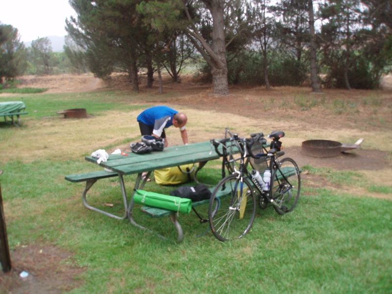
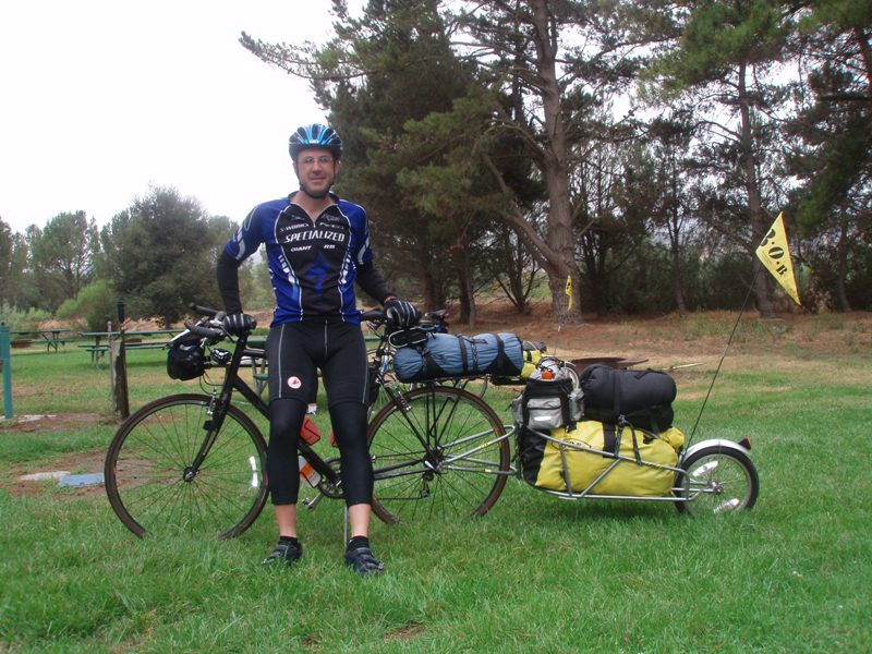
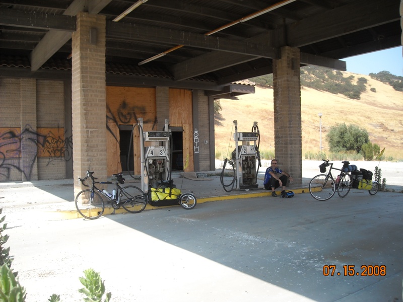
| Steve packing up the "pig." | Devin finally packed and ready to go. | Heading out on Highway 101 under cloudy skies | Taking a side route on Paris Valley Road | Heading back from... |
 |
 |
 |
 |
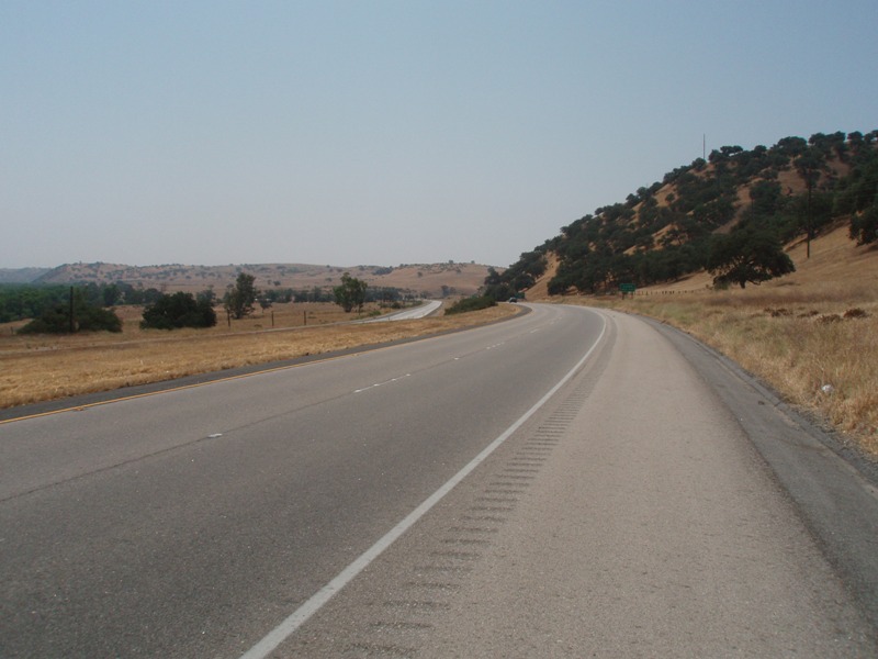 |
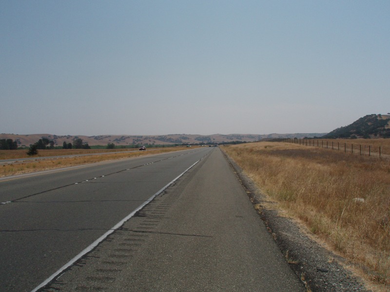
| ...talking with the Sheriff. | This is what a narrow road looks like. | Finally back on 101. | Not much out on the road so we had to use what was left. | Somewhere North of Camp Roberts on 101. |
 |
 |
 |
 |
 |
| Taking another break for a Snickers bar, I think this was a 3 bar day. | Still on Highway 101 getting close to San Miguel. | Almost to Paso Robles. | Once through Paso Robles we make our way to the Coast... | ...by climbing Highway 46. |
 |
 |
 |
 |
 |
| Notice how nice and smooth... | ...how wide and... | ....smooth Highway 46 is... | ...still climbing 46. | Looking back as Steve... |
 |
 |
 |
 |
 |
| ...finally makes it to the top... | ...I think he wants to stay. | Devin poses for the summit shot... | ...and then takes off, he's hungry. | I only hit 34 mph... |
 |
 |
|||
| ...going down this hill. Going too slow thanks to the headwind. | On the final stretch to Cambria, back on Highway 1. | |||
|
Video Clip |
|
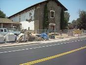 |
Mission San Miguel: As we rode through San Miguel we passed by Mission San Miguel. Here you can see that they are in the process of renovating it, one brick at a time. |
|
Daily Stats |
|
| Rider: Devin Holmes Time Left: 8:00 am Time Arrived: 7:00 pm Max mph: 34.0 Avg mph: 11.7 Distance: 92.37 Actual Time Riding: 7:52:48 |
Camp Fee: $2.00 Lunch: $10 Misc: $2 Groceries:$0 Shower: $0.75 Laundry: $0 Total Cost for today: $14.75 |
Copyright © 2003-2013 Devin Holmes