Links and More Home
My Equipment
My Links
My Photos
My Training
My Tours
My Trips
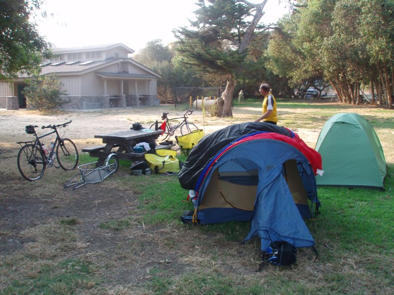
Thursday 07/17/08 - Pismo State Beach: North Beach to Refugio State Beach
 We
were up a little later than usual. I think that was because we slept
good. We were a little late getting out of camp but we were not in much of
a hurry today. There would be two main climbs but the rest of the route
was supposed to be fairly flat.
We
were up a little later than usual. I think that was because we slept
good. We were a little late getting out of camp but we were not in much of
a hurry today. There would be two main climbs but the rest of the route
was supposed to be fairly flat.
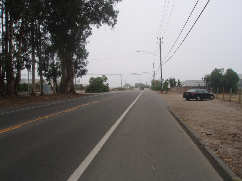
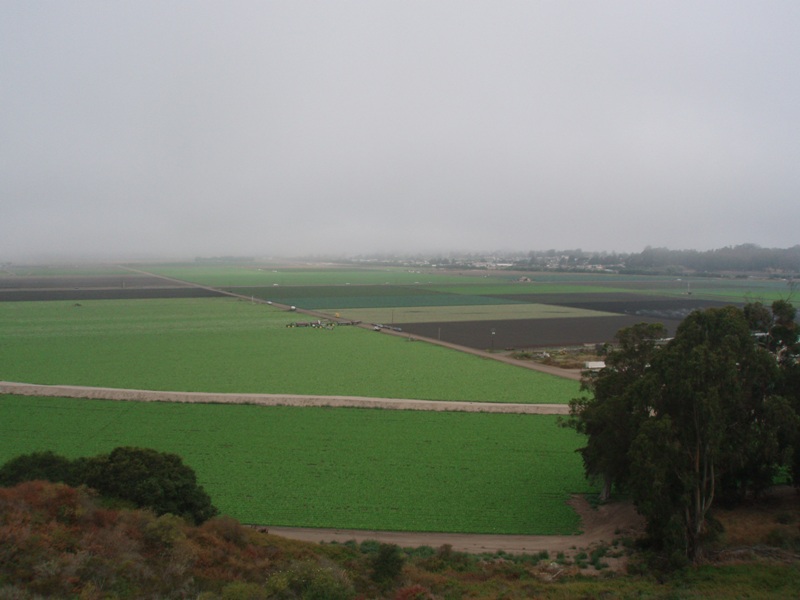
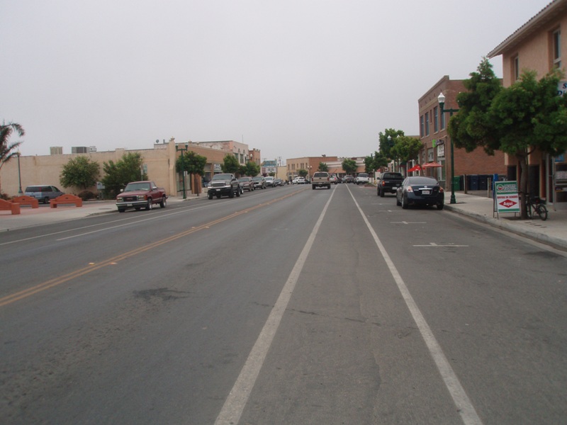
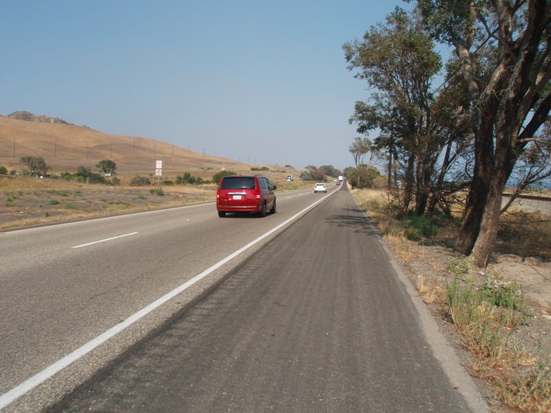
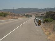
As we headed out of Pismo the place seemed very much asleep. Only a few cars on the road. As soon as we came out of the State Campground we passed by the RV Campground. This is where most cyclists end up because they are unaware of the lack of hiker/biker site and the state campground. They really pack in those RVs. I hear it's got nice facilities but it was nice to stay were we did last night. It doesn't take long to get out of Pismo and out into the farmlands once again. We pass by a sign that says Pacific Coast alternate route. I never like taking those routes so we press on ahead. Up ahead we are warmed up by a hill that goes straight up out of the farm lands, maybe we should have taken that route. Up at the top is a gas station and a little store or two, supposedly this is Oceano. It's small.
The next 10 miles are filled with more farmlands. It's amazing how much of the land out here is used for farming. The roads through here don't have much of a shoulder, but there isn't much traffic so it's fine. Out of now where is the town of Guadalupe. It's a small little town but with a few stores and such that if you need to stop for something you should be able to find it. It's still early for lunch so we decide to push on. The marine layer is still overhead keeping it on the chilly side. Soon we'll be in the sun.
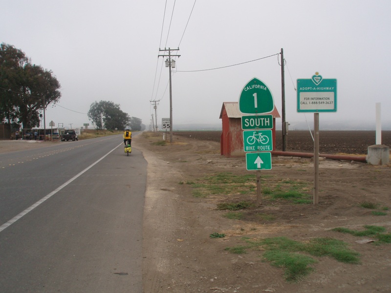
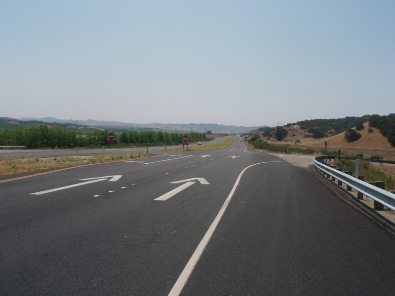
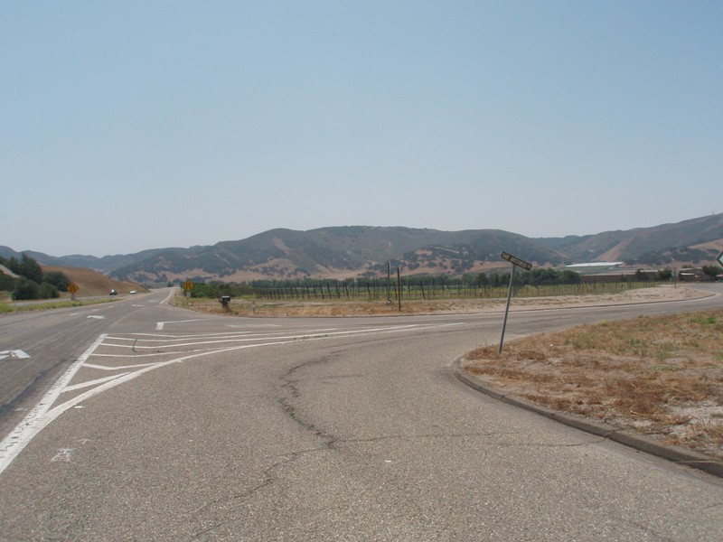
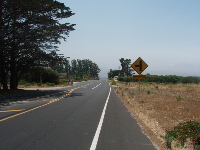
The next 11 miles to Orcutt is more of the same, farmlands and little traffic. At least the shoulders got bigger on this stretch of the road. Once we got to Orcutt we thought we'd be able to stop for lunch. But at the Orcutt intersection it has a sign pointing back towards the town. Once again we weren't sure how back we would have to ride to find something to eat so instead of getting side tracked here we kept pushing on. This is where Highway 135 joins Highway 1, then at the bottom of the hill you follow Highway 135. This is where we start noticing markings from other tour, events, and century rides. Some of them are from other riders doing the Pacific Coast such as the 3 Amigos.
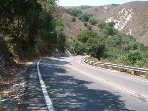
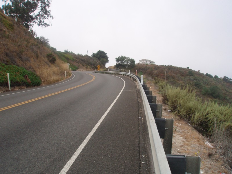
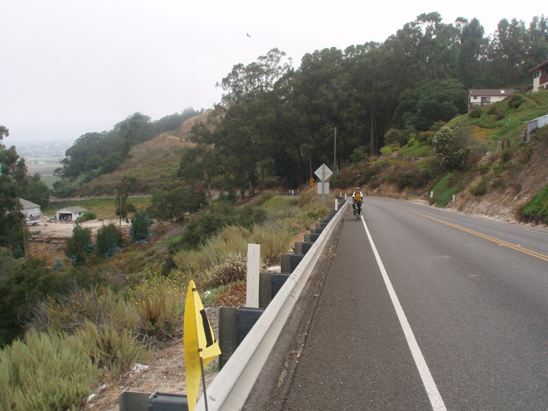
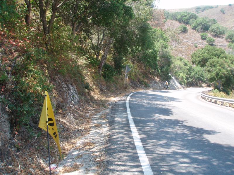
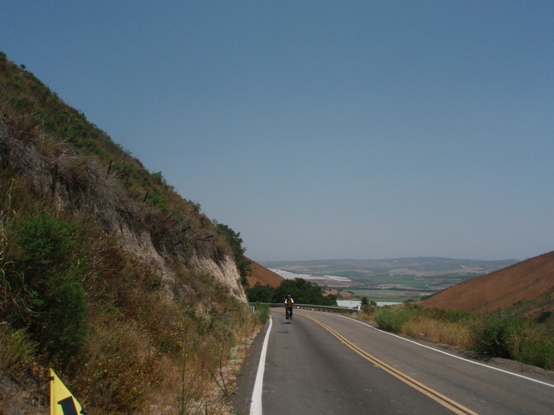
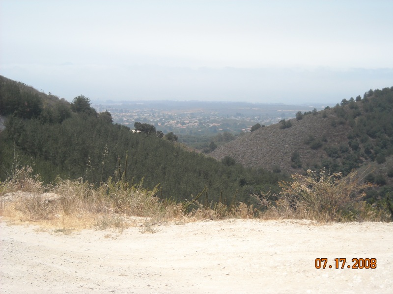
At the bottom of 135 we take a right and climb Harris Grade Road. Once I again I stand firm that any road that has the word; Grade, Hill, Canyon, Climb, Rams Horn, or similar is just not a good road to go on for a cyclist. I can report that Harris Grade Road is one hell of a climb. You get to muscle up about 4 to 5 miles worth of climbing. Some of the grades were at least 15% to 16% maybe more. None the less at the top we enjoyed the view of Lompoc, took the same picture that every other cyclist takes at this point and then we flew down the other side.
Coming into Lompoc was a little tricky with a bridge crossing. Once we were across then it was a matter of finding a place to eat. Soon after entering town we found a KFC that was just begging us to stop at so we did and enjoyed a great lunch. Of course it was after 1:30 pm way later than lunch time but we didn't let that stop us. Lunch was very enjoyable, we caught up on email, text messages, and phone calls. It had warmed up quite a bit and we enjoyed the cool air inside.
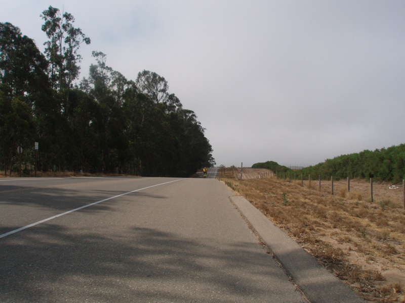
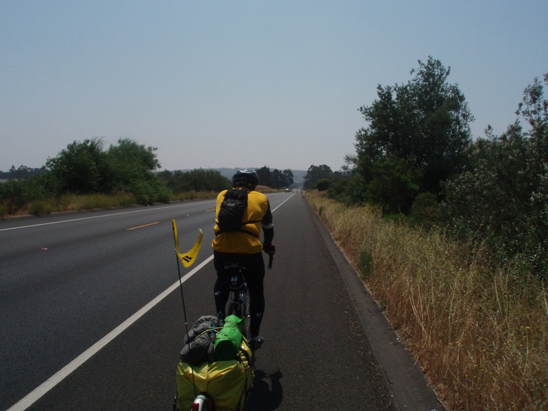
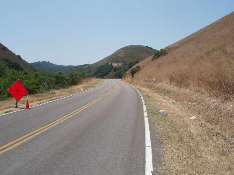
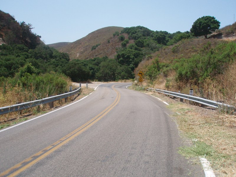
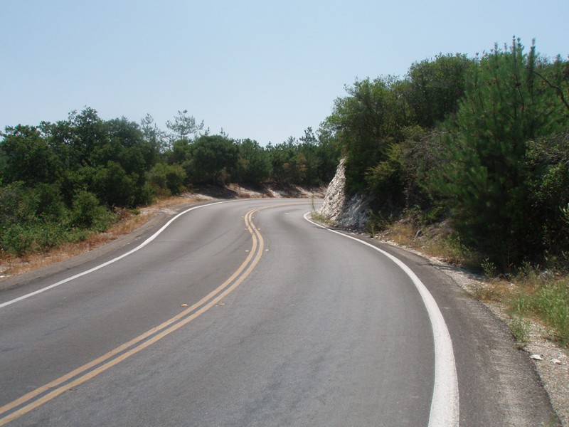
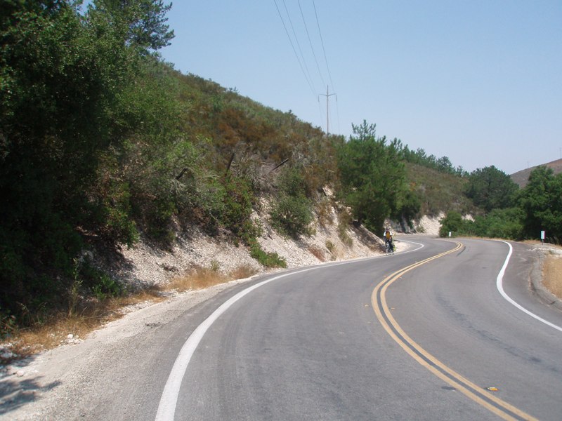
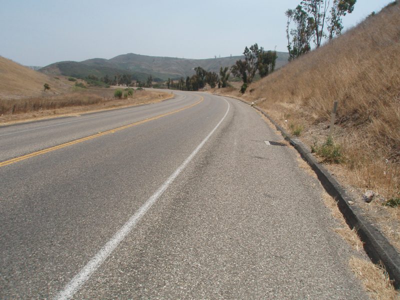
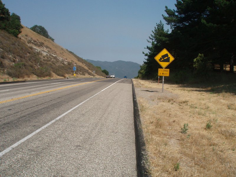
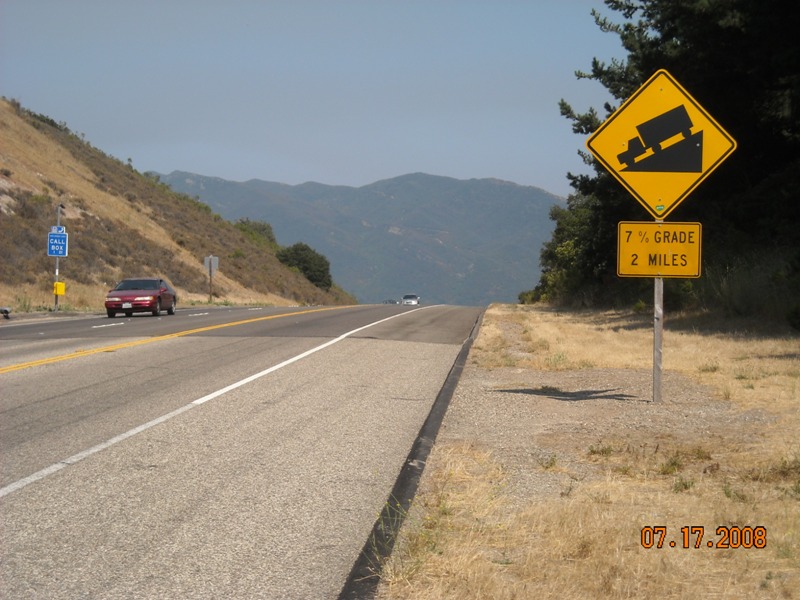
Time to get going again. We load up, fill up, and head out. Getting out of Lompoc was fine and soon we were on the road again. The next segment was going to be more climbing. It wasn't supposed to be as steep but it was definitely supposed to be longer. And so we made our way through the Santa Ynez Mountains.
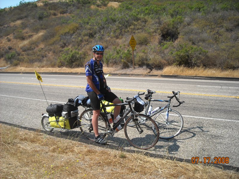
It wasn't hard climbing, but it was climbing, much easier than the Grade just before lunch. Plenty of room on these roads for the bikes and traffic which was nice. The sun was out and getting plenty warm. We went through the liquids on this stretch. Glad we're almost done for the day. Up ahead we see the main set of mountains. We figure one last climb and we'll be over them. Instead of going straight ahead it heads to the left and bit, which is heading South now. Then it's the final climb. Once at the top we take a few pictures, tighten up the helmet, and let it fly!
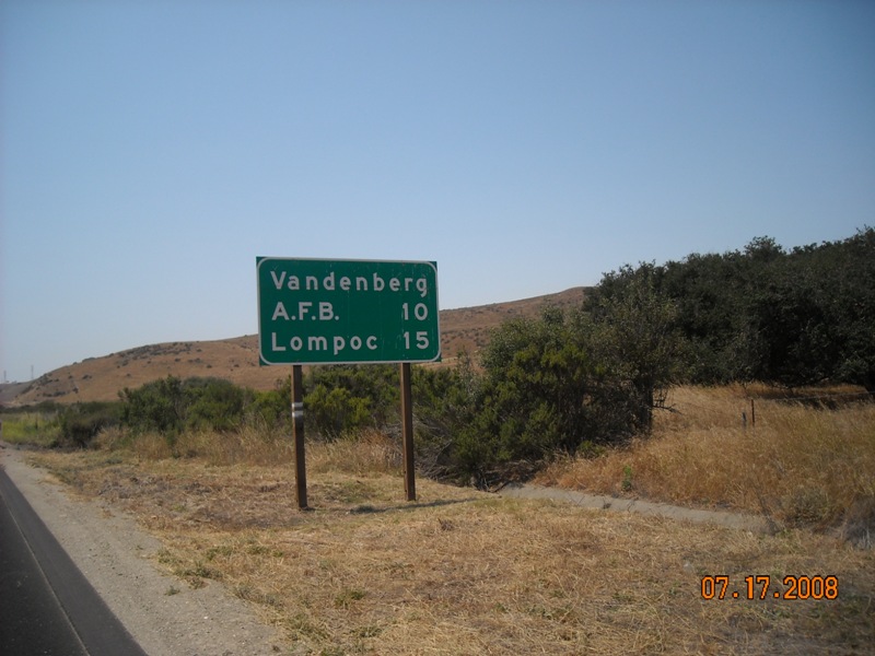
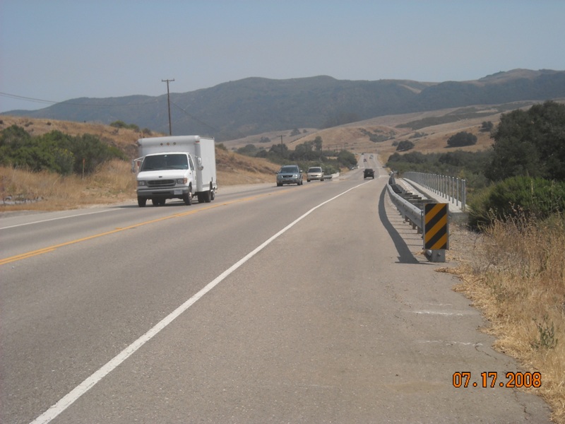
This is probably the only down hill part that I actually used the brakes. When I hit about 40 mph the bike felt a little wobble so I decided to slow down just a hair. I still managed to hit 41 mph on this stretch. Once at the bottom you make a quick exit to the right and head towards Santa Barbara. You've got plenty of speed going through here and it picks up even faster. You're now on Highway 101 and the traffic has just doubled in density.
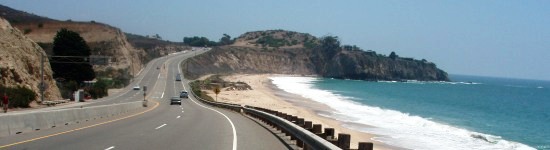
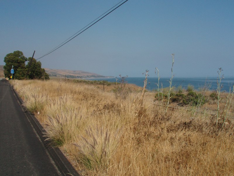
Up ahead is a rest stop. We decided to pull off and use the facilities and stock up on water. There are plenty of trees to enjoy the shade here. We stay for a bit to rest up for the last stretch. Back on the road we hit the coast once again. Gaviota State Park is just up ahead. We continue past and notice the railroad tracks right next to the Park.
Up ahead I feel the tire starting to go soft on me, I look back, it's a flat. The first of it's kind. I pull out the tools and get things unloaded. Upon taking the wheel off I pull out a shard of glass stuck straight into the middle of the tire. Nothing would have kept that thing out. After 20 minutes we're pumped and ready to go.
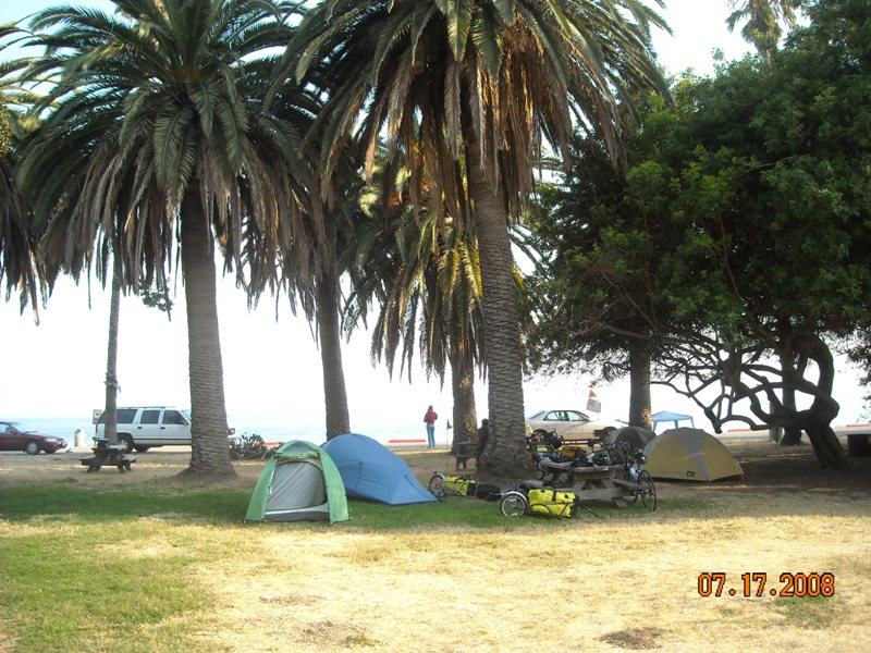
Only another 3 miles and we make our turn off the Highway and pull up to the camp ground. We check in and find the hiker biker site. This is where we meet Yost and Chris. They have cycled down the Coast over the last month and are waiting for a friend to meet up with them. It was fun talking with them and learning how they made it through the Salina Valley, in an RV, we should have thought of that.
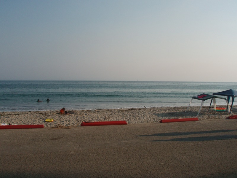
We go about our routine of getting cleaned up, dinner, making phone calls to check in with home and then enjoy the scenery. The campground is to die for, palm trees, nice grass, the beach right across the street from us, and a full moon. If it wasn't for the fact we had to be at the end at a certain time for reservations with the rental car I would have loved to stayed here another night.
Night
time comes too soon and it's time to turn in. I take a look at the full
moon one more time.
|
Pictures for the Day |
||||
 |
 |
 |
 |
 |
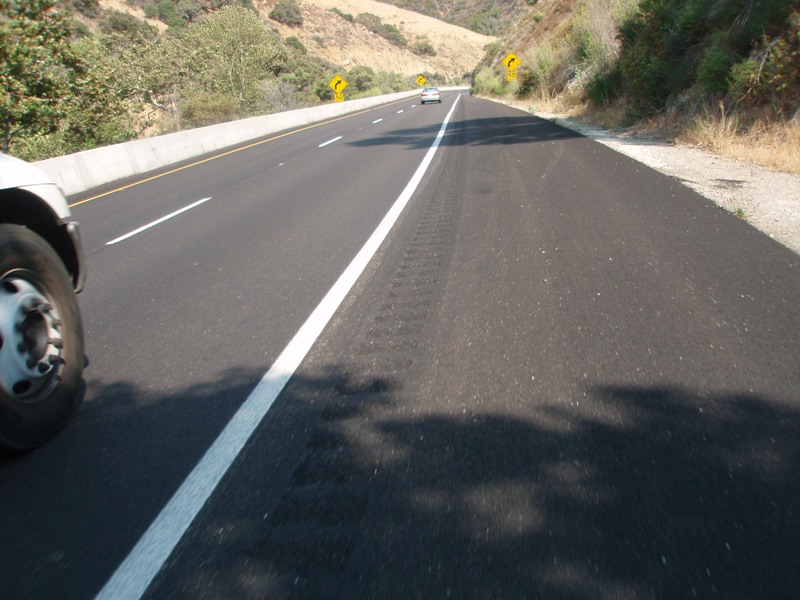
| Heading out of Pismo into the cool morning and... | ...climbing the hills... | ...of course there was an alternate... | ...we ignored it and instead climbed the hill. | At least we have plenty of room on the road. |
 |
 |
 |
 |
 |
| Downtown Guadalupe, morning rush hour traffic. | At least we're still on the right route. | Looking back as we come out of the morning fog and cloud cover. | It's going to be another warm one. | Steve leading the way. |
 |
 |
 |
 |
 |
| Lunch and Lompoc are only an hour away. | Heading down Highway 135. | Turning onto... | ...Harris Grade... | ....okay maybe Lunch.... |
 |
 |
 |
 |
 |
| ....will be more than an hour. | Looking back as Steve climbs. | Almost at the top. | Who picked this stupid road anyways?! | Steve almost to the top, keep spinning! |
 |
 |
 |
 |
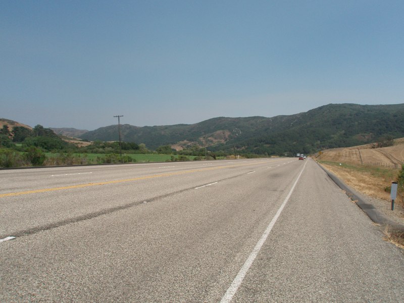 |
| Once at the top of the grade you get this view of Lompoc. | Coming into Lompoc. Once there we were too busy to take pictures. | Out of Lompoc and... | ...back on the main route, Highway 1. | Looking at the last range we have to climb. |
 |
 |
 |
 |
 |
| Finally we reach the last summit of the day... | ...posing for the picture... | ...2 miles downhill, fast. | What's it like going 40 mph hour on a bike? Fast and blurry... | Down at the bottom was a rest stop with this big rig parked. |
 |
 |
 |
 |
 |
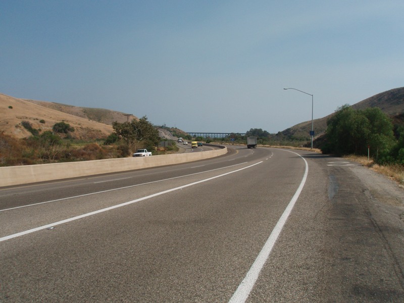
| After the rest stop you come down onto Highway 101... | ...and spend the next 10 miles... | ....or so riding... | ...along. A sign points the way to Santa Barbara. | The Ocean is just right there to see. |
 |
 |
 |
 |
|
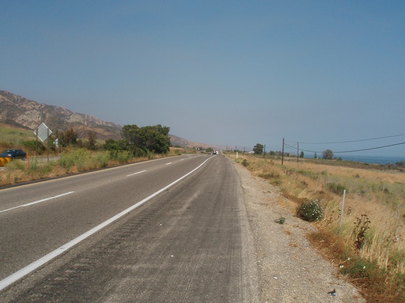
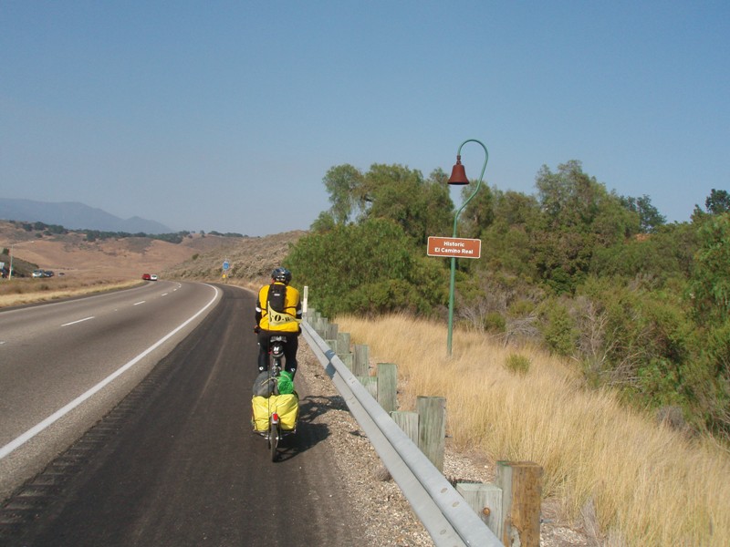
| More of the historic El Camino Real. | Paradise on this trip was... | ...the Refugio State Beach... | ...campground. | Love those palm trees. |
 |
 |
 |
 |
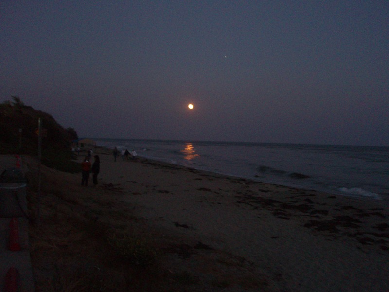 |
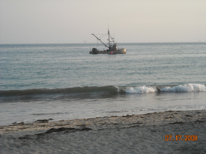
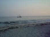
| Chris and Yost, are friendly touring cyclists. | Across from our campsite was the beach. | Later in the evening a fishing boat showed up off shore. | As the Sun set over our paradise on the beach... | ...a full moon came out and topped it off for the night. |

|
Video Clips |
|
 |
Piece of Cake: The last range we had to cross before we headed back out to the coast. This side was the cake, the downhill was the icing. |
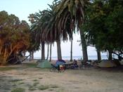 |
Camp Paradise: So this was the best camp mainly because of the location to the beach. You couldn't get any closer. The palm trees, the ocean, the waves, it was great. Here is a 360 view of the campground. |
 |
Across the Camp: So once you walked across the street to the beach here is the 360 view of the beach. |
|
Daily Stats |
|
| Rider: Devin Holmes Time Left: 9:00 am Time Arrived: 5:30 pm Max mph: 41.6 Avg mph: 12.2 Distance: 75.82 Actual Time Riding: 6:10:25 |
Camp Fee: $5 Lunch: $10 Misc: $0 Groceries:$0 Shower: $0.50 Laundry: $0 Total Cost for today: $15.50 |

Copyright © 2003-2013 Devin Holmes