Links and More Home
My Equipment
My Links
My Photos
My Training
My Tours
My Trips
|
|
 |
|
 |
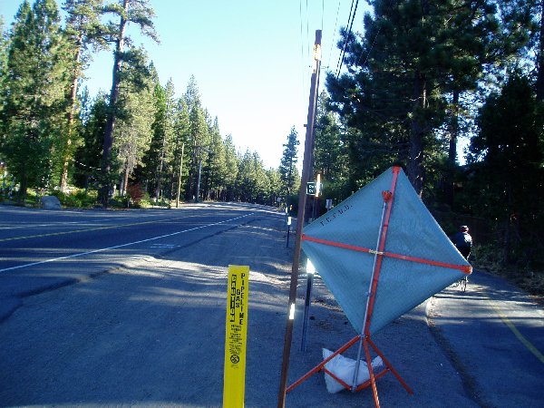 |
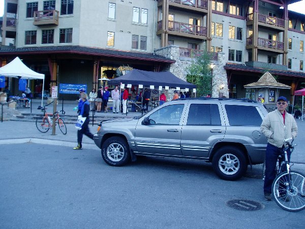
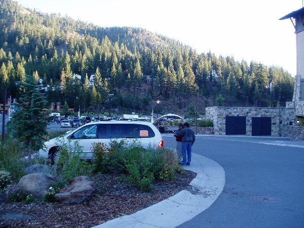
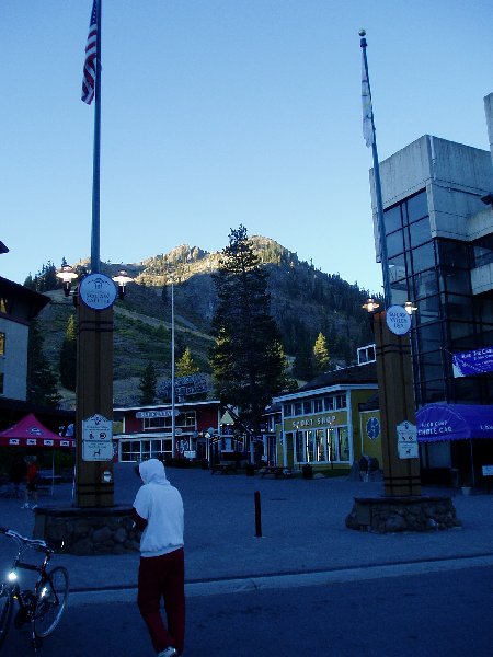
| Another early morning and it's really cold, 36 degrees. | Looking at the Buildings behind the starting line. | Looking up at the Mountains behind Squaw Valley Ski Resort. | The Starting Line. | Heading along Highway 267. |
 |
 |
 |
 |
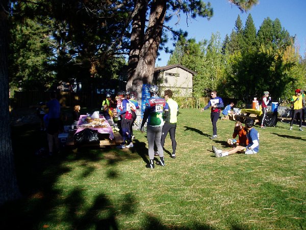 |
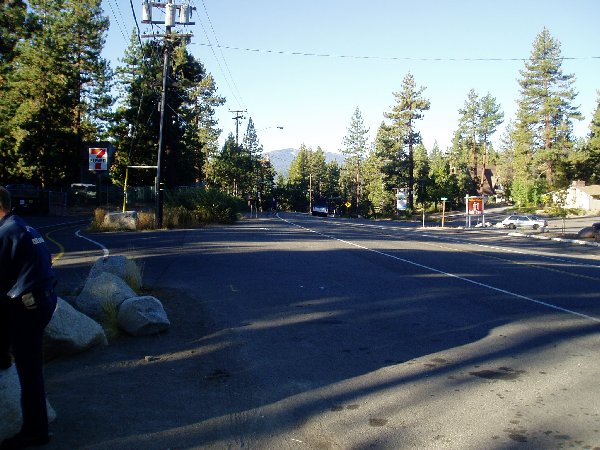
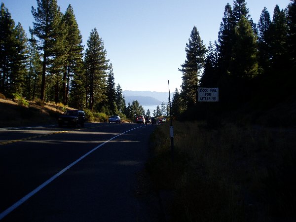
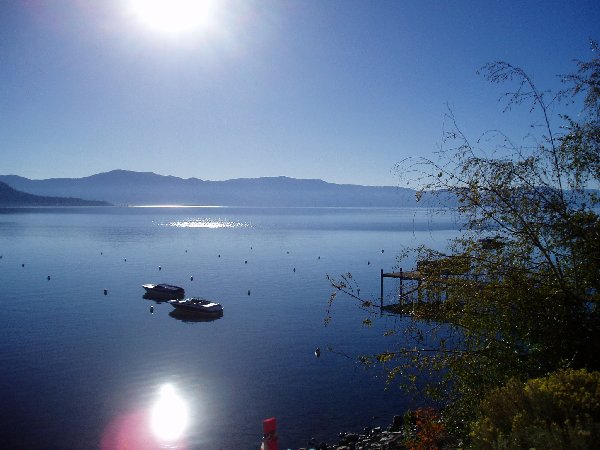
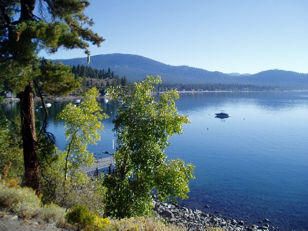
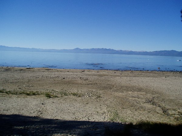
| Looking back along the route I had just traveled, notice the EMT in the left of the picture, first accident of the day. | The first view of Lake Tahoe. | Riding along 267 right at the edge of the lake. | Another view of the Lake. | Rest Stop #1, Kings Beach Lake Tahoe. |
 |
 |
 |
 |
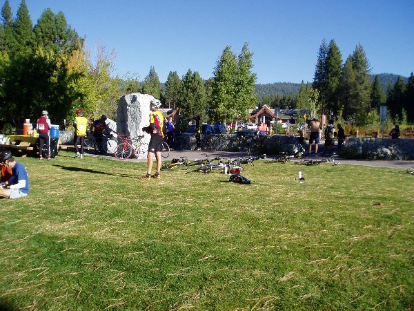 |
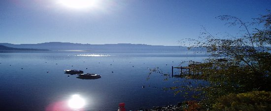
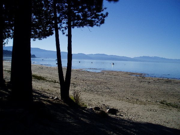
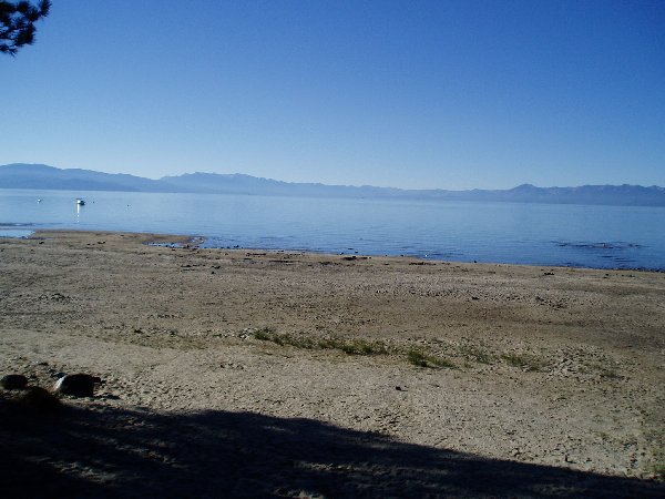
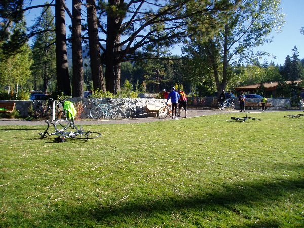
| Lake Tahoe Panoramic 1/3 | Lake Tahoe Panoramic 2/3 | Lake Tahoe Panoramic 3/3 | Lake Tahoe view. | More of Rest Stop #1. |
 |
 |
 |
 |
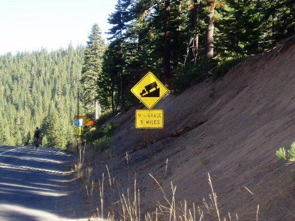 |
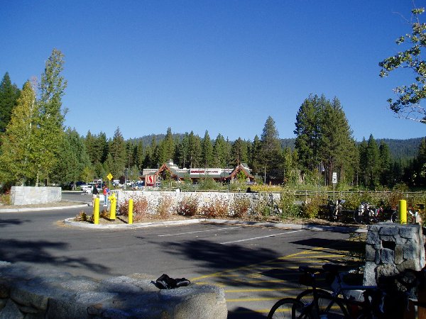
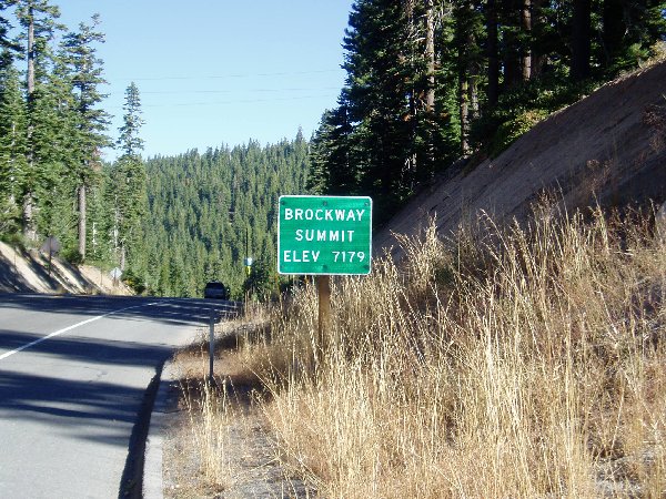
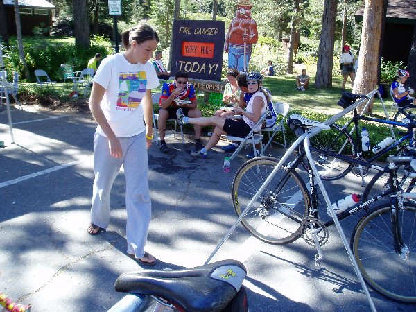
| Rest Stop #1. | Safeway Grocery in the grove of Trees, Kings Beach Lake Tahoe. | The first big hill to climb, Brockway Summit. | How many feet was that? | Oooh, now we get to go down hill, really, really fast. |
 |
 |
 |
 |
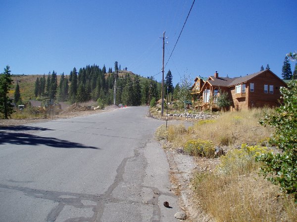 |
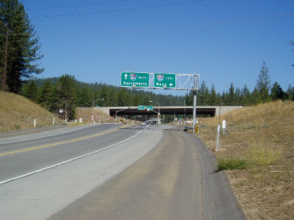
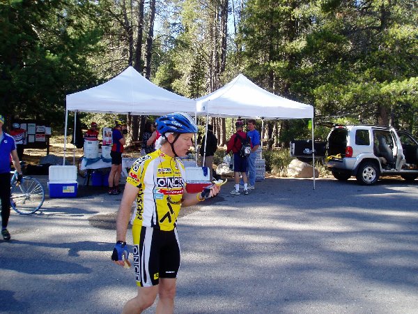
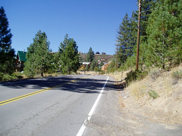
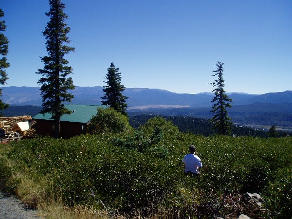
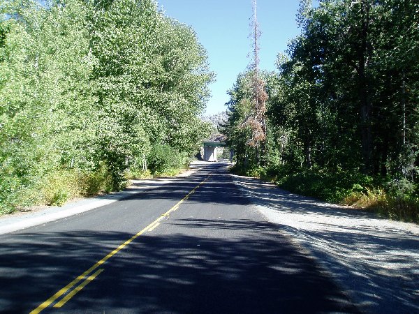
| Coming down from Brockway Summit you empty into this valley. | North on Highway 267 takes you under I-80. | Rest stop #2 near Prosser Reservoir. | Heading Towards Ski Slope Way. | Heading up Ski Slop Way, cabins all over the place. |
 |
 |
 |
 |
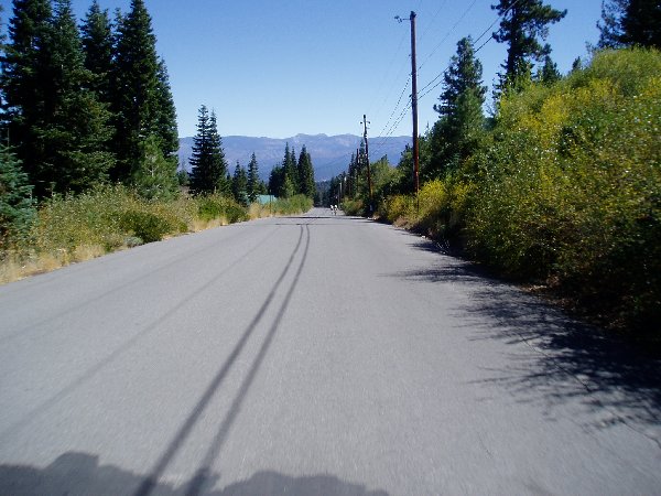 |
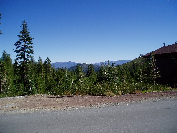
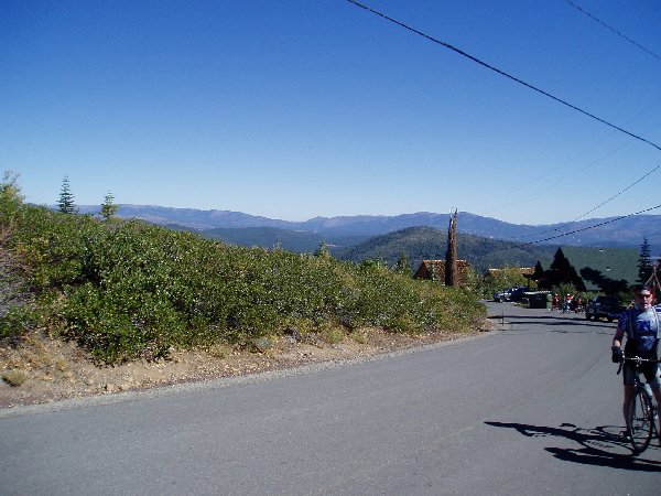
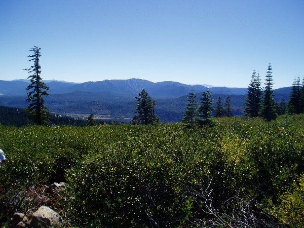
| At the top of Ski Slop Way. | At the top of Ski Slop Way. | At the top of Ski Slop Way. | At the top of Ski Slop Way. | Flying down Ski Slope Way at 35 mph. |
 |
 |
 |
 |
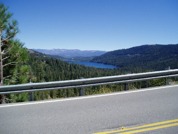 |
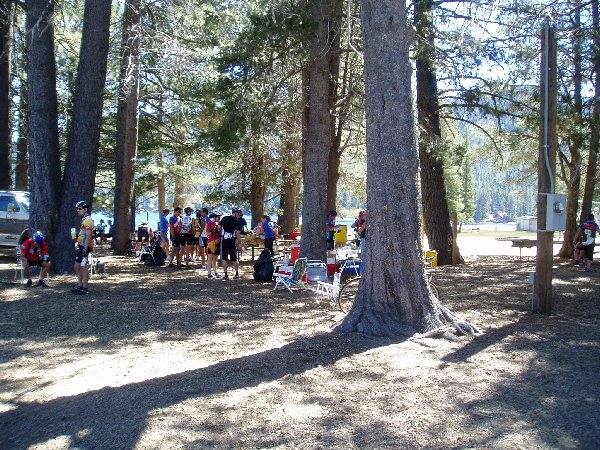
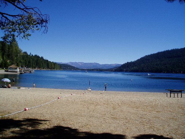
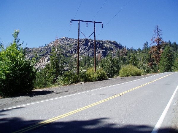
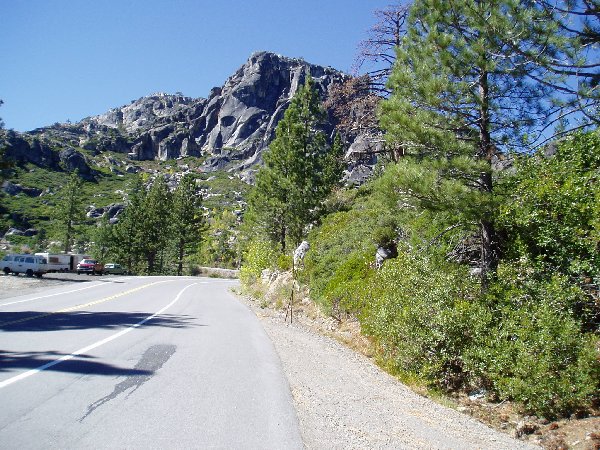
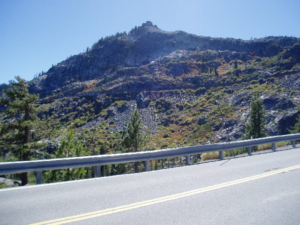
| Rest Stop #3. | Donnor Beach at Rest Stop #3. | Heading up Donnor Pass. | Donnor Pass, love those cliffs, people were actually climbing up them. | A great view of Donnor Lake. |
 |
 |
 |
 |
 |
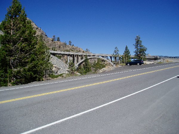
| Looking across you can see the covered Train Tunnels. | Heading towards the top you cross this little bridge, don't mind the cross winds. | The turn around point at Cisco Grove. | Heading back up old highway 40. | Rest Stop #4. |
 |
 |
 |
 |
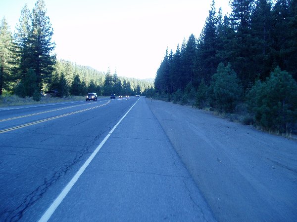 |
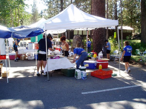
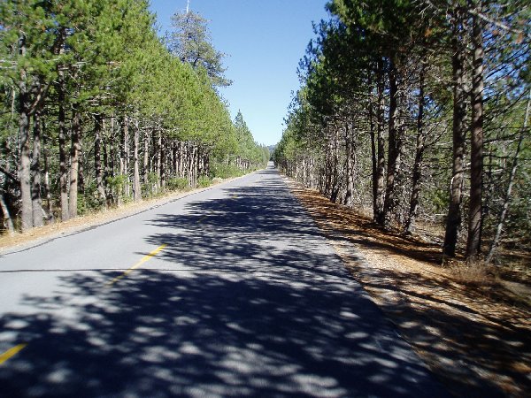
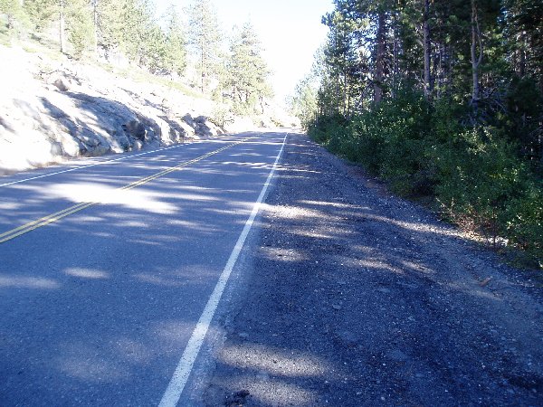
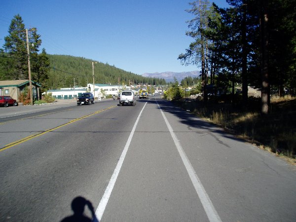
| Lunch line at rest stop #4. | Old Highway 40. | More of Old Highway 40. | Coming back into Truckee. | Heading on 89 South to Squaw Valley. |
 |
 |
 |
 |
|
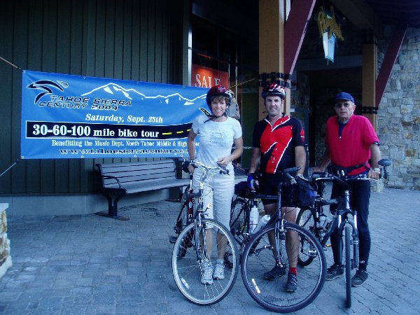
| Another Successful ride. | Looking at the hills around Squaw Valley. | Parking Lot at Squaw Valley. | 30, 60, or 100 miles banner. |


Copyright © 2003-2013 Devin Holmes